I arrived in Anchorage by plane this time. And I was not alone. Andrea, my partner, and Jason, a good friend, were along for the journey. I was glad to have companions for this section, but I doubt they appreciated how far away Alaska is from home.
Flying feels like cheating. Everyone has a sense of what far away is. The long-haul trucker, the cyclist, and the airplane pilot all perceive distance differently. Gravel roads, paved roads, highways, traffic, good weather, bad weather, flat fields of corn, and mountains on the horizon all shape how far away a place feels. There are distances that have to be felt to be appreciated. Gazing at a map is no substitute.
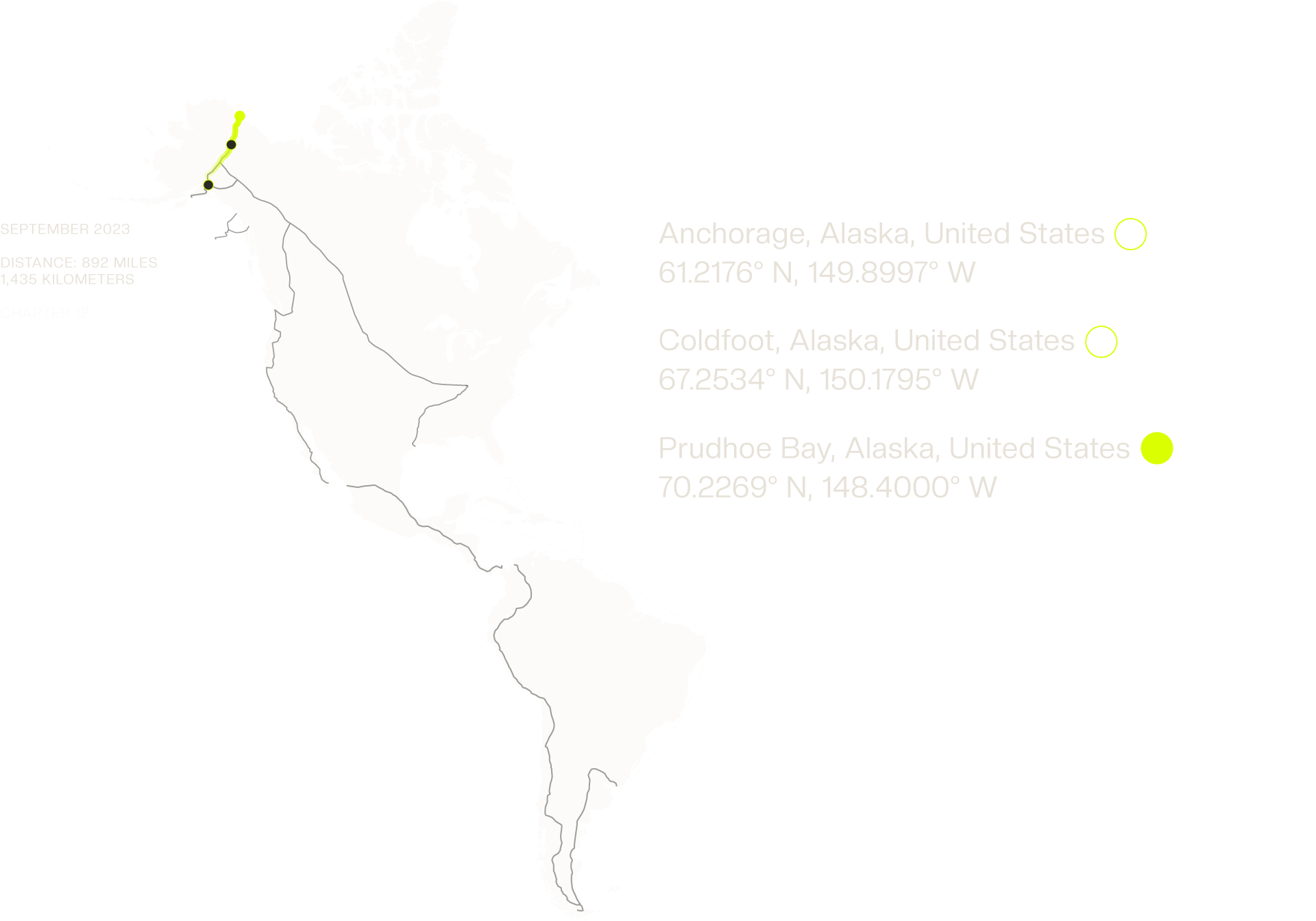
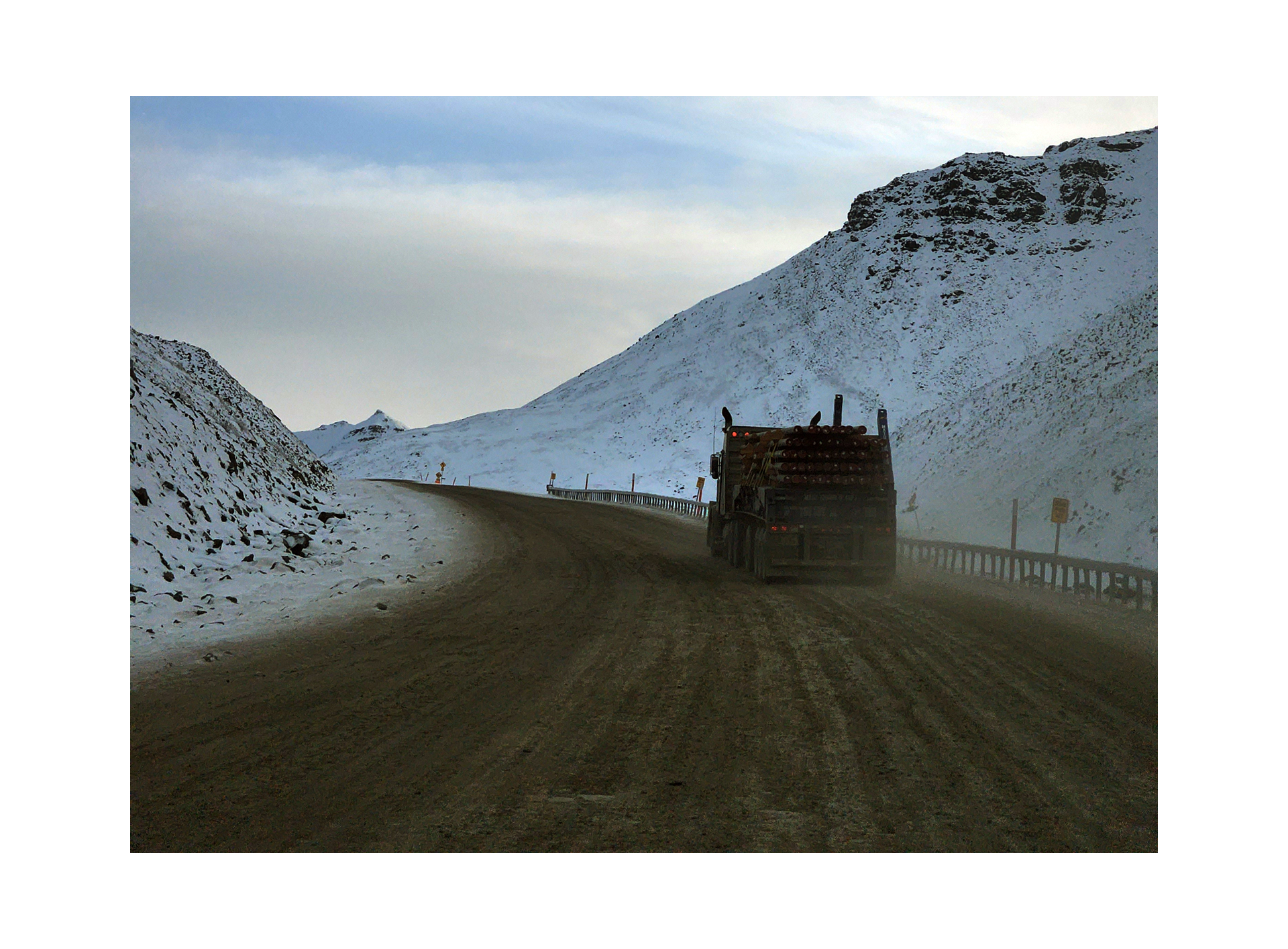
In Alaska, getting from one place to another is dictated by the seasons. Fall is brief and rainy, and where we were headed, a rental car would suffice. Driving north, we passed through Fairbanks and Livengood, eventually reaching the start of the James W. Dalton Highway. It's a road named after the engineer who spent years exploring Alaska's most remote areas in search of oil. The Dalton Highway's surface becomes a greasy mix of gravel and mud. This mud sticks like glue, drying quickly into a thick film that's tough to remove. It collects on your windows, blocking visibility, and covering brake lights, so it's smart to keep your distance from other vehicles. We crossed over the Arctic Circle. It marked the farthest north any of us had ever been.
There are distances that have to be felt to be appreciated. Gazing at a map is no substitute.
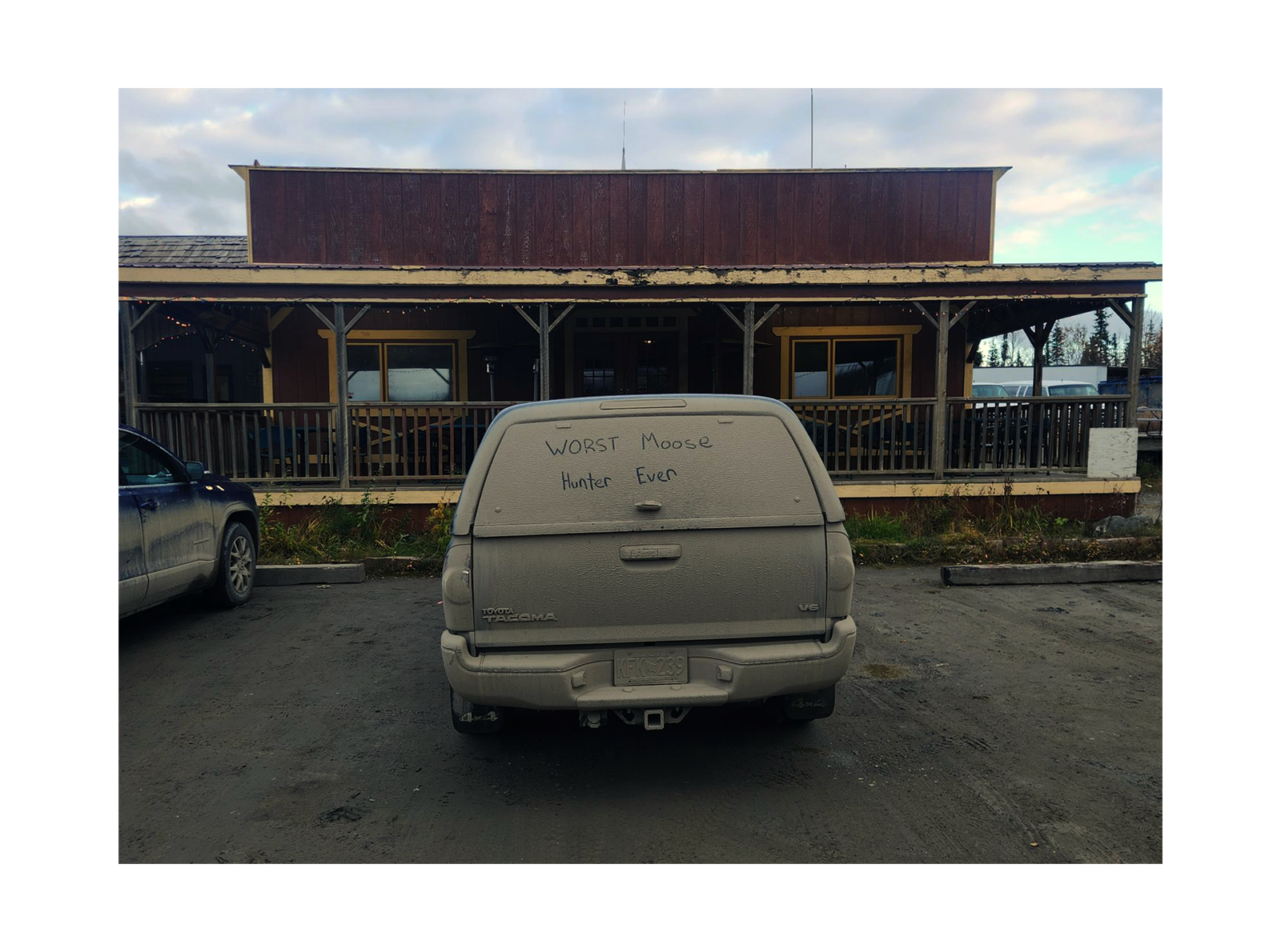
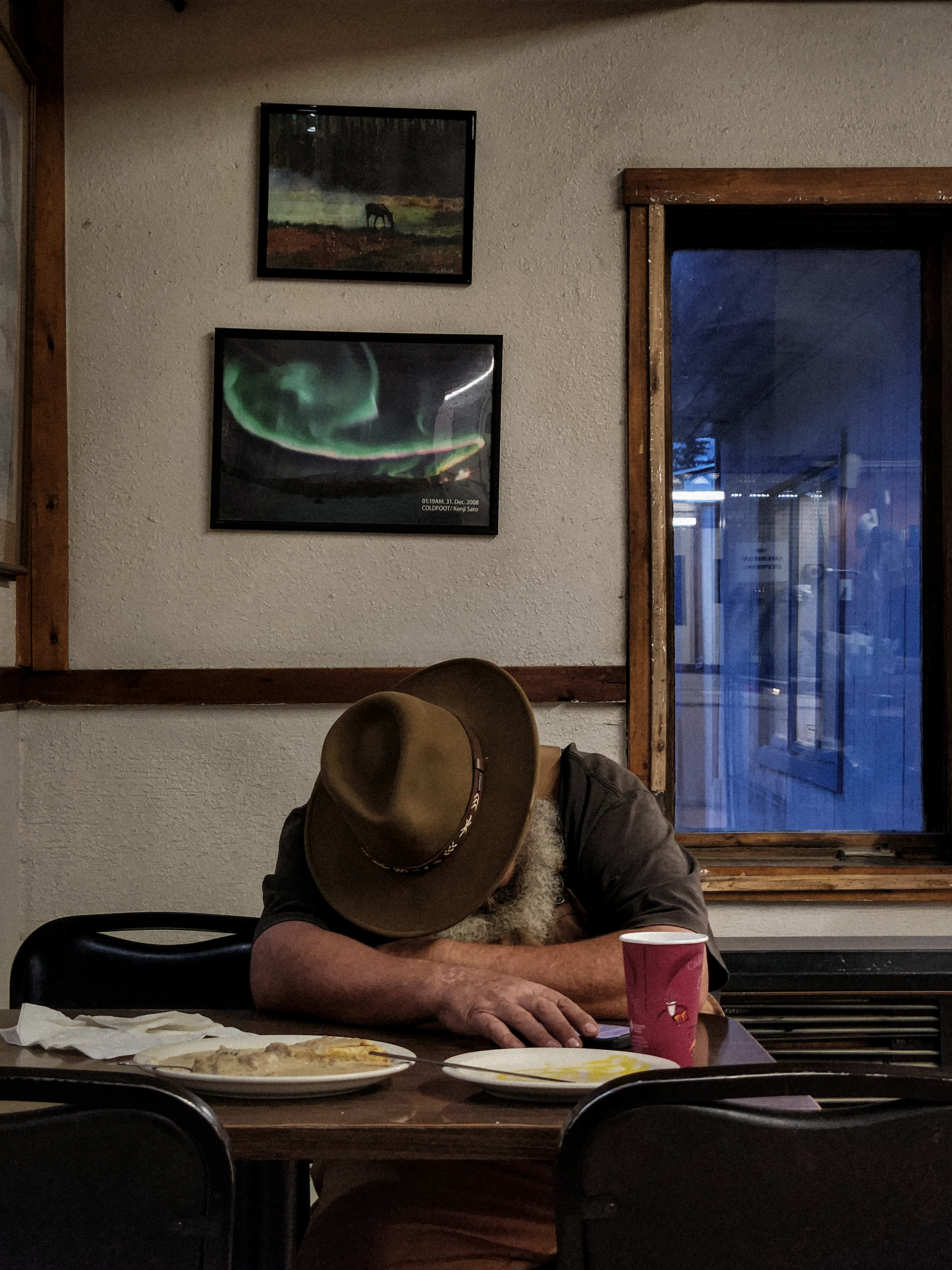
Alaskans prefer landmarks over mile markers, so we drove past Finger Mountain, up Gobbler's Knob, and down Beaver Slide before reaching Coldfoot, the halfway point of the Dalton. Open year-round, Coldfoot Camp is a fuel stop and rest area for truck drivers. There are a half dozen mismatched buildings dotted around the property: post office, general store, garage, an old trapper's log cabin, and a barracks-style hotel. There's also a helicopter landing pad and tons of space for semi-trucks to park up. Gas was $7 per gallon, all dinner options came with tater tots, and the cheapest room was $250. It had two single beds and Jason was kind enough to volunteer to sleep on the floor. The woman checking us in asked where we were headed. I told her, "Deadhorse." She warned us about the road. The combination of recent rain and constant truck traffic created long stretches of slippery ruts. At dinner, we talked to a pair of moose hunters who had driven the road that day. Their advice was, "Just hammer down, you'll be fine," which I took to mean keep your foot on the gas and don't lose momentum. We finished our tater tots and headed to our room.
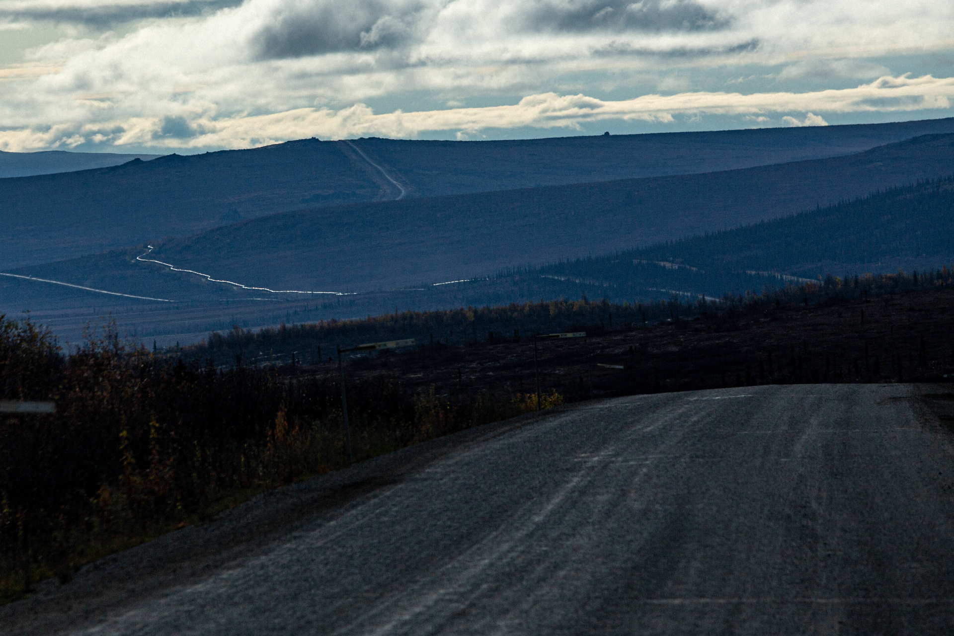
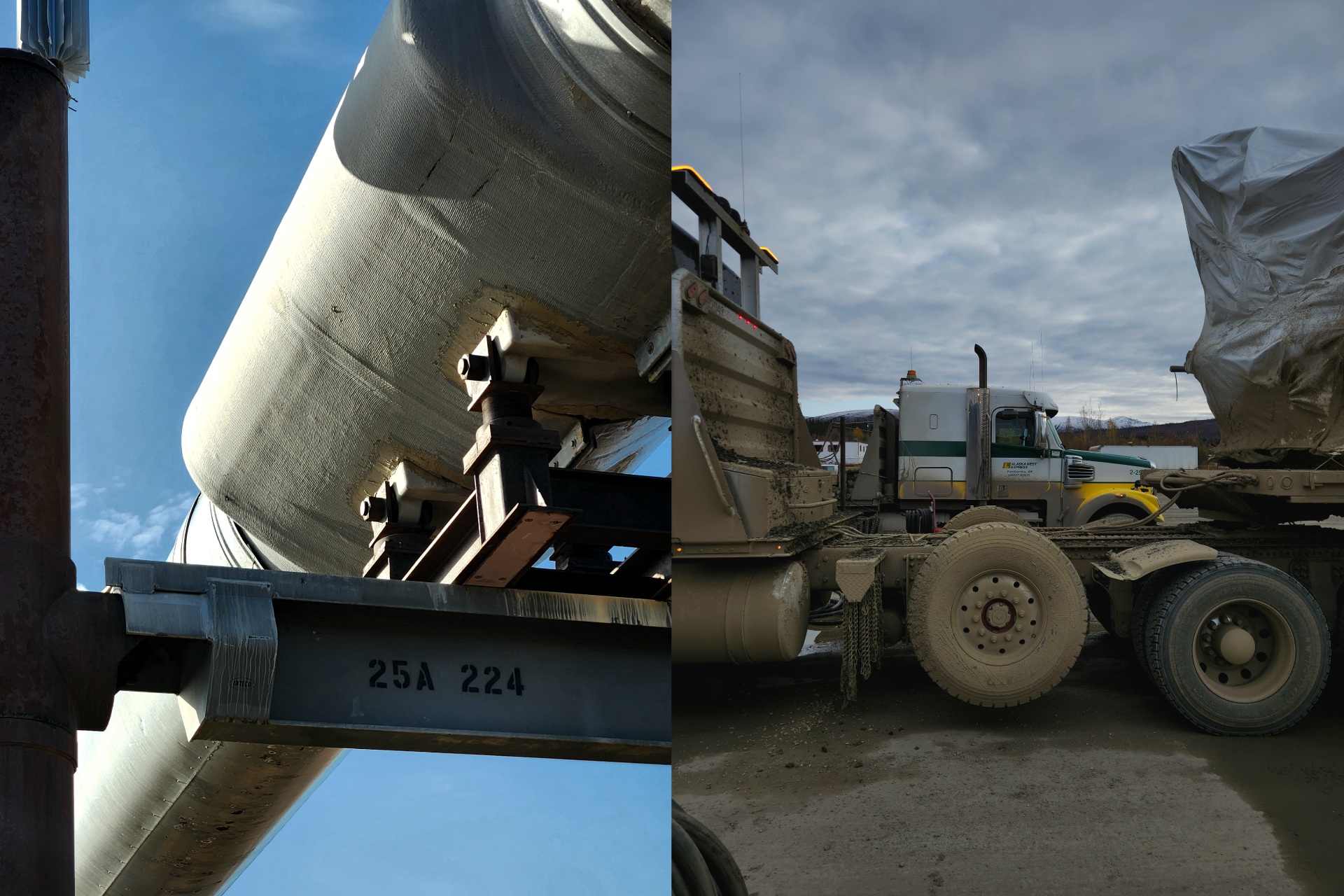
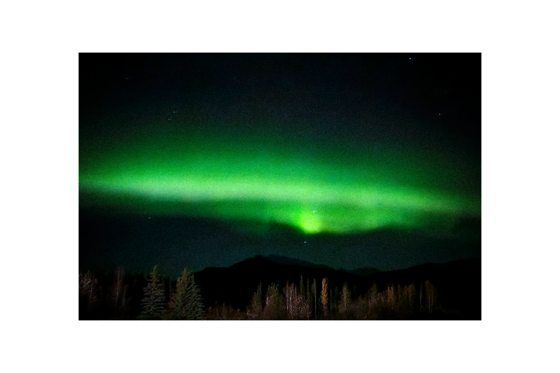
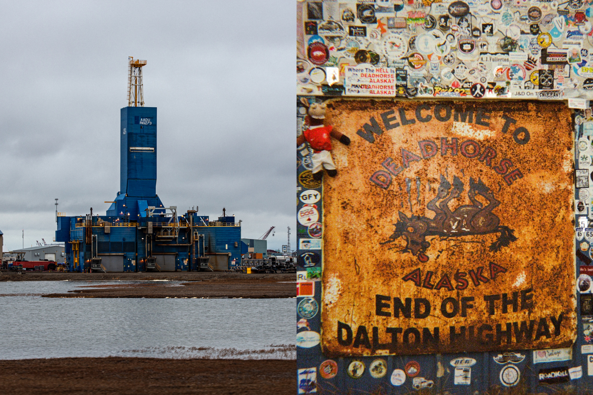
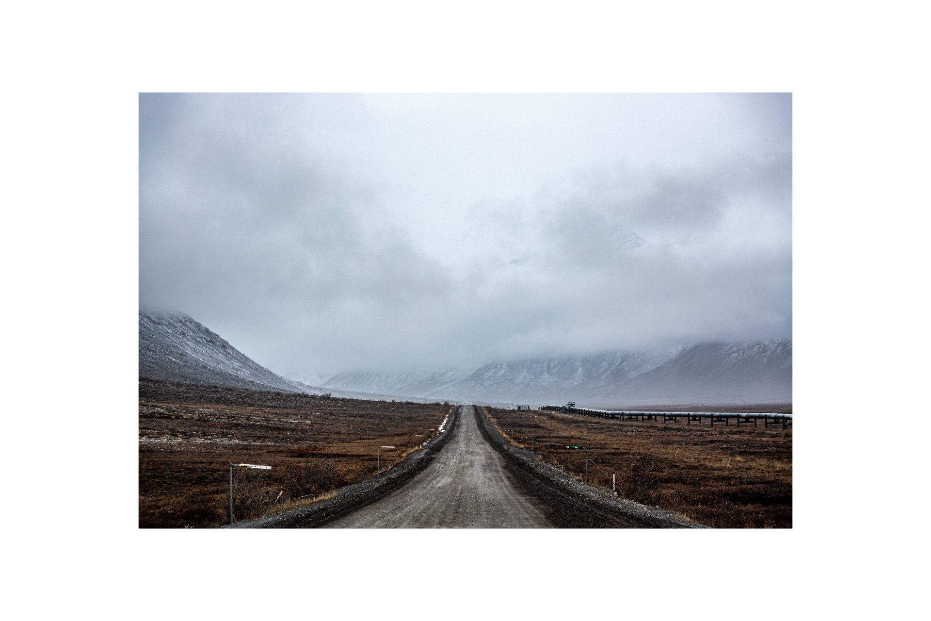
When we woke up, everything outside was covered in frost. The temperature dropped overnight and solidified the driving surface, which was fortunate for us because it gave us better traction. We climbed over the Brooks Range through Atigun Pass, topping out at 4,739 feet, then descended back to sea level on the other side. The north side of the Brooks Range consists of vast stretches of treeless tundra. We spotted a bull moose and a herd of musk oxen. The ever-present Trans-Alaska Pipeline runs alongside the road. Built in the 1970s, the pipeline transports crude oil from Prudhoe Bay, across the length of Alaska, to Valdez. It's a shiny, silver, four-foot-wide tube that rests atop steel supports, about ten feet above the ground. The pipeline guided us into Deadhorse. Buildings there are designed to withstand Arctic winters. They had small windows and also stood on stilts to raise them off the permafrost. We pulled up to a blue metal-clad building with a rusty sign hanging on the outside that said 'Welcome to Deadhorse. End of the Dalton Highway.' The sign featured a cartoon horse lying on its back, tongue hanging out, surrounded by gestural stink lines. Stickers from previous travelers cover the wall around it. I didn't bring a sticker, it felt like littering. Andrea encouraged me to have my picture taken in front of the sign. At first, I declined, saying, "I don't need a picture," but she pushed back, saying, "Maybe the picture isn't for you?" I walked in front of the sign, crossed my arms behind my back, and Andrea took the photo. I couldn't help but smile, despite myself.
Part of me was astonished to be standing here at the end of the road, but most of me couldn't help thinking about the long drive back to Coldfoot we still needed to make. It started to snow. We got back in the car, and Jason looked over and asked, "Do you feel complete?" I didn't know how to answer. After four years and nearly 40,000 miles, I had finally driven the entire length of the Pan-American Highway. But I also knew no trip was going to make my life complete. I set out to accomplish something that I'd never done before, a challenge that felt daunting. I'd come a long way, and I am proud of that.
I also realized that satisfaction comes from the small, everyday moments. It was those little things I encountered on the road that stayed with me: the encouragement and curiosity of fellow travelers, people offering food and shade to folks stuck in traffic, and friends willing to join me on my adventures, to see the world from the bottom of Argentina to the tundra surrounding us.
It was time to go home.